
 Kontakt
 Kako nakupovati
Dostava
Svetovalec pri nakupu
Terrestrial laser scanning
 Angleščina
 163 b
163 b
Do 30 dni za vračilo

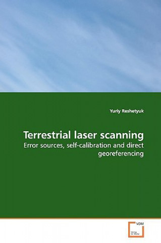
During the last decade, terrestrial laser scanning §(TLS) has appeared as a new surveying technique. Its §proper use requires good knowledge of the error §sources, comprehensive description of which is §currently lacking. Especially important are §systematic instrumental errors, which are determined §during calibration. Recently, the method of self-§calibration used in photogrammetry has been shown to §be efficient for laser scanners. Another important §task in TLS is georeferencing transformation of §the point clouds into a specific coordinate system. §This book provides a systematic description of the §error sources in TLS surveys conducted with direct §georeferencing. Further, a new, unified approach for §laser scanner self-calibration is described, and the §results of calibration of three scanners are §reported. Finally, a prototype combined TLS survey §system is presented, which employs GPS for direct §georeferencing of the point clouds, and can be used §for accurate surveys of built environments. The book §should be useful to students and researchers in §Engineering Surveying as well as surveyors in public §and private sector.


O knjigi
Angleščina

Podarite to knjigo še danes
To je povsem preprosto
1 Dodajte knjigo v košarico in izberite dostavo kot darilo 2 V zameno vam bomo poslali kupon 3 Knjiga bo dostavljena na naslov obdarovancaPozdravljeni! Sem Libroamiko, vaš knjižni svetovalec.
Kako vam lahko pomagam?