 Kontakt
 Kako nakupovati
Dostava
Svetovalec pri nakupu
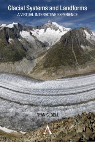
Glacial Systems and Landforms
 Angleščina
 68 b
68 b
30 dni za vračilo blaga
Drugi so kupili tudi

 /
/
 Mehka
Mehka
 15.28
€
15.28
€
 /
Mehka
45.66
€
/
Mehka
45.66
€

This interactive guide serves to make glacial systems and landforms more accessible, as students use Google Earth and other satellite imagery to understand the patterns and processes found within glacial environments. Guided inquiry activities range from calculating the Mendenhall Glacier's rate of melting to identifying erosional landforms in the Swiss Alps. In this way, the guide offers a virtual interactive experience in which students can visit and explore glacial systems and landforms in 3D. Through studying these images the student will not only start to recognize the forms commonly found within glacial landscapes, but also develop skills in map analysis and interpretation.


O knjigi
Angleščina

Podarite to knjigo še danes
To je povsem preprosto
1 Dodajte knjigo v košarico in izberite dostavo kot darilo 2 V zameno vam bomo poslali kupon 3 Knjiga bo dostavljena na naslov obdarovancaMorda bi vas zanimalo tudi


Pozdravljeni! Sem Libroamiko, vaš knjižni svetovalec.
Kako vam lahko pomagam?