
 Kontakt
 Kako nakupovati
Dostava
Svetovalec pri nakupu
Essential Image Processing and GIS for Remote Sensing
 Angleščina
 187 b
187 b

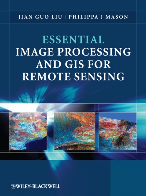
Essential Image Processing and GIS for Remote Sensing is an accessible overview of the subject and successfully draws together these three key areas in a balanced and comprehensive manner. The book provides an overview of essential techniques and a selection of key case studies in a variety of application areas. Key concepts and ideas are introduced in a clear and logical manner and described through the provision of numerous relevant conceptual illustrations. Mathematical detail is kept to a minimum and only referred to where necessary for ease of understanding. Such concepts are explained through common sense terms rather than in rigorous mathematical detail when explaining image processing and GIS techniques, to enable students to grasp the essentials of a notoriously challenging subject area. The book is clearly divided into three parts, with the first part introducing essential image processing techniques for remote sensing. The second part looks at GIS and begins with an overview of the concepts, structures and mechanisms by which GIS operates. Finally the third part introduces Remote Sensing Applications. Throughout the book the relationships between GIS, Image Processing and Remote Sensing are clearly identified to ensure that students are able to apply the various techniques that have been covered appropriately. The latter chapters use numerous relevant case studies to illustrate various remote sensing, image processing and GIS applications in practice.


O knjigi
Angleščina

Podarite to knjigo še danes
To je povsem preprosto
1 Dodajte knjigo v košarico in izberite dostavo kot darilo 2 V zameno vam bomo poslali kupon 3 Knjiga bo dostavljena na naslov obdarovancaPozdravljeni! Sem Libroamiko, vaš knjižni svetovalec.
Kako vam lahko pomagam?